Facilitates automated recording and monitoring of webcams.
GPSeismic® is a suite of survey, mapping, and data management applications.
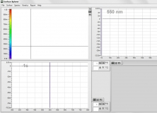
Visualize and analyze 3-dimensional time-resolved spectroscopic data.
Turns data collected from RF Explorer spectrum analyzers into graphical charts.
Free program that can be used for NGDC downloaded data.